


Lysefjord / Lysefjorden Satellite Map, Norway
Made by
Print With Shapeways
 Choose Your Material
 Choose your color and finish
$288.53
Have a question about this product?
contact the designerYou must be logged in and verified to contact the designer.
Product Description
Interactive 3D Viewer
If you would like a custom relief map, contact me through my website or through Shapeways.
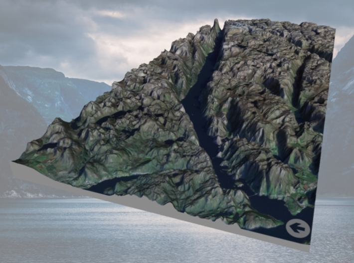
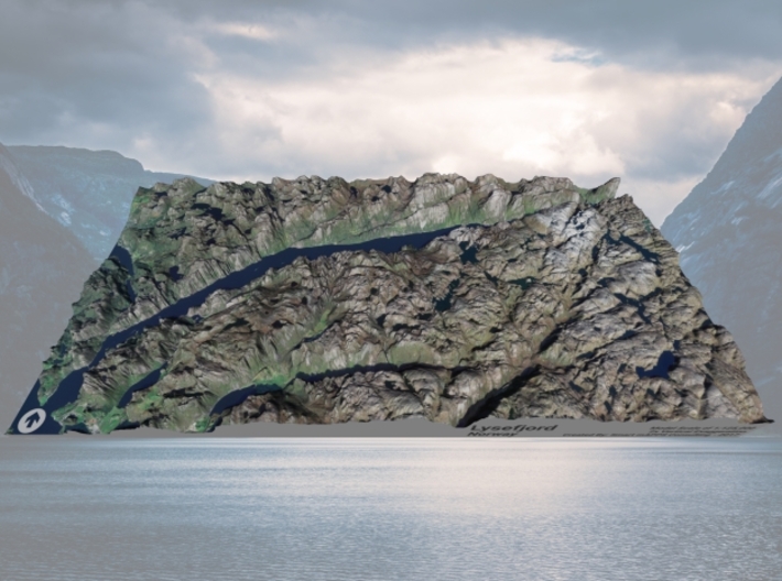
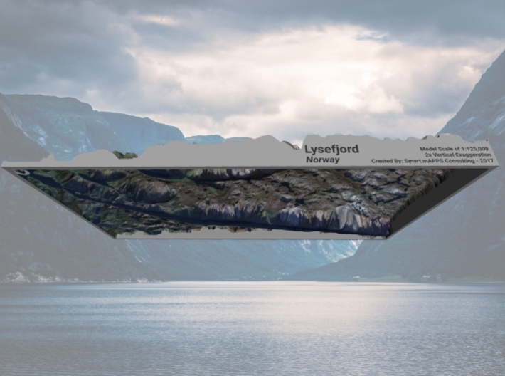
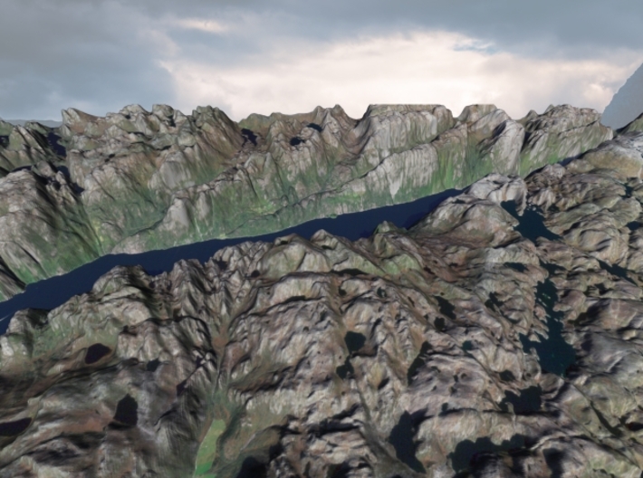
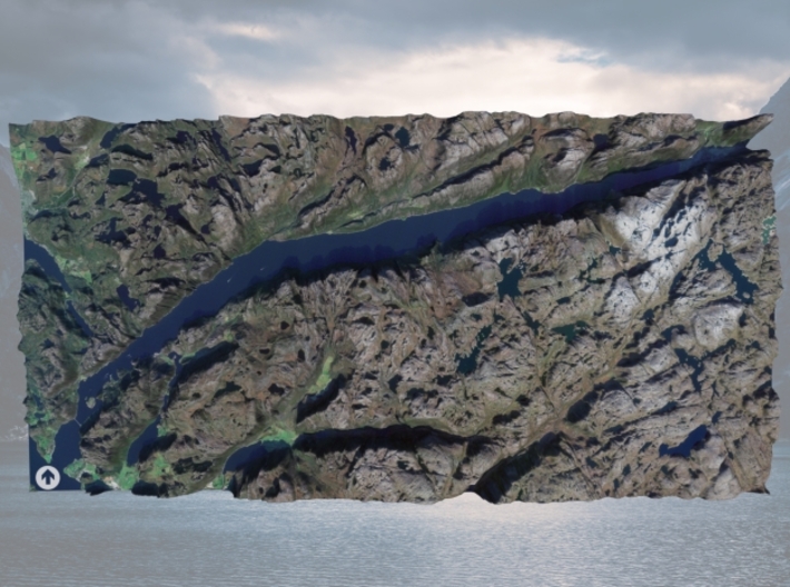
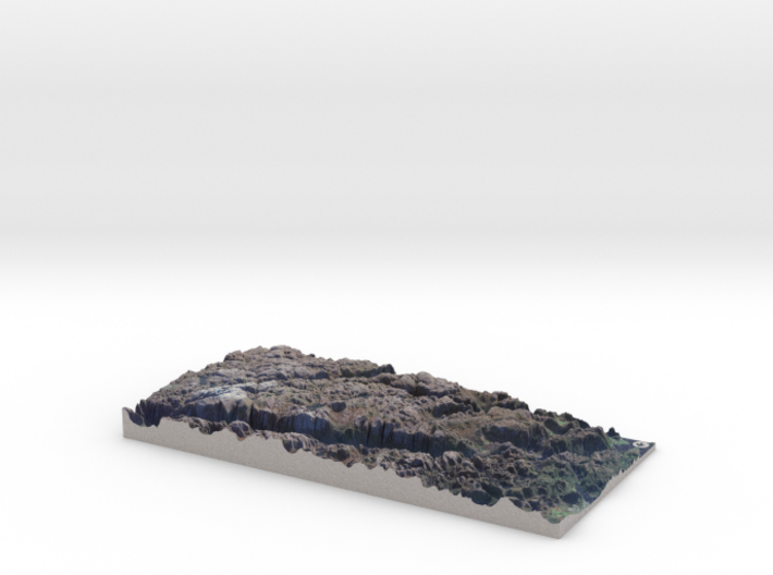
Lysefjord or Lysefjorden[1] is a fjord located in the Ryfylke area in southwestern Norway. The 42-kilometre (26 mi) long fjord lies in Forsand municipality in Rogaland county, about 25 kilometres (16 mi) east of the city of Stavanger. The name means light fjord, and is said to be derived from the lightly coloured granite rocks along its sides. It is particularly well-known by the huge Preikestolen cliff overlooking the fjord, which is a major tourist destination for the region. The fairly isolated village of Lysebotn lies at the eastern end of the fjord and the villages of Forsand and Oanes both lie at the western end of the fjord near the Lysefjord Bridge, the only crossing of the fjord.[2]
Source: Wikipedia
The model is created at a scale of 1:125,000 with 2x vertical exaggeration. It features a built-in base, so it sits perfectly on a desk or in a frame.
Model Data Sources: Kartverket/Nedlasting (Elevation), ESA (Imagery)
If you would like a custom relief map, contact me through my website or through Shapeways.
Lysefjord or Lysefjorden[1] is a fjord located in the Ryfylke area in southwestern Norway. The 42-kilometre (26 mi) long fjord lies in Forsand municipality in Rogaland county, about 25 kilometres (16 mi) east of the city of Stavanger. The name means light fjord, and is said to be derived from the lightly coloured granite rocks along its sides. It is particularly well-known by the huge Preikestolen cliff overlooking the fjord, which is a major tourist destination for the region. The fairly isolated village of Lysebotn lies at the eastern end of the fjord and the villages of Forsand and Oanes both lie at the western end of the fjord near the Lysefjord Bridge, the only crossing of the fjord.[2]
Source: Wikipedia
The model is created at a scale of 1:125,000 with 2x vertical exaggeration. It features a built-in base, so it sits perfectly on a desk or in a frame.
Model Data Sources: Kartverket/Nedlasting (Elevation), ESA (Imagery)
Details
What's in the box:
Lysefjord-6x12-Sat

Dimensions:
Success Rate:
First To try.
What's this?
Rating:
Mature audiences only.


