


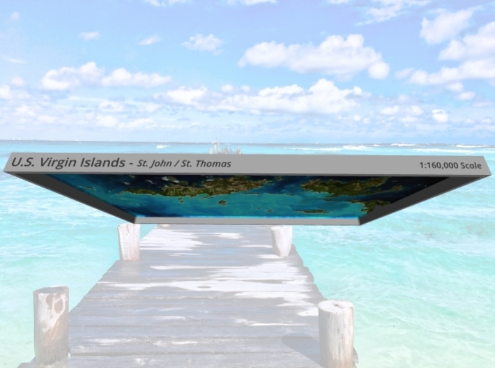

US Virgin Islands Topo Map - St. John / St. Thomas
Made by
Print With Shapeways
 Choose Your Material
 Choose your color and finish
$253.15
Have a question about this product?
contact the designerYou must be logged in and verified to contact the designer.
Product Description
Interactive 3D View
If you would like a custom relief map, contact me through my website or through Shapeways. Check out photos of my other 3D prints.
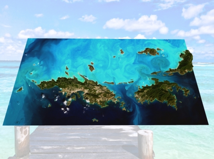
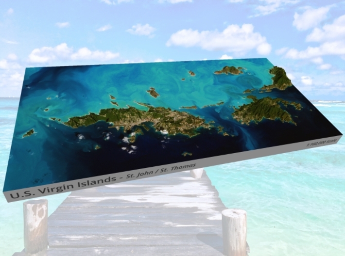
The United States Virgin Islands (USVI; also called the American Virgin Islands), officially the Virgin Islands of the United States, is a group of islands in the Caribbean that is an insular area of the United States located 40 miles (64 km) east of Puerto Rico. The islands are geographically part of the Virgin Islands archipelago and are located in the Leeward Islands of the Lesser Antilles. It is the easternmost point (in terms jurisdiction) and territory of the United States.
The U.S. Virgin Islands consists of the main islands of Saint Croix, Saint John, and Saint Thomas, and many other surrounding minor islands. The total land area of the territory is 133.73 square miles (346.36 km2).[3] The territory's capital is Charlotte Amalie on the island of Saint Thomas.
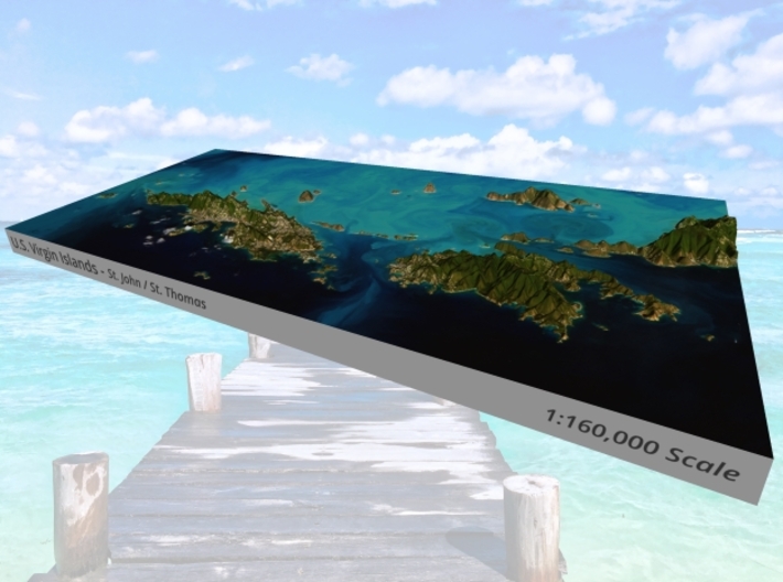
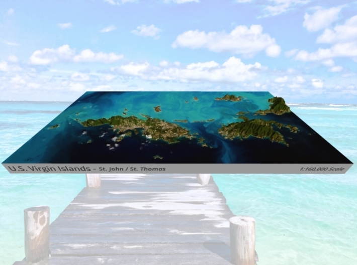
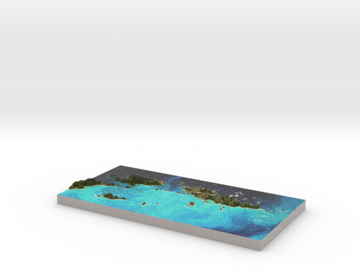
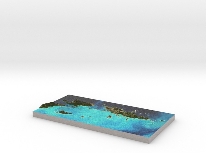
The model is created at a scale of 1:160,000 with 3x vertical exaggeration. It features a built-in base, so it sits perfectly on a desk or in a frame.
Model Data Sources: NASA, European Space Agency (ESA)
If you would like a custom relief map, contact me through my website or through Shapeways. Check out photos of my other 3D prints.
The United States Virgin Islands (USVI; also called the American Virgin Islands), officially the Virgin Islands of the United States, is a group of islands in the Caribbean that is an insular area of the United States located 40 miles (64 km) east of Puerto Rico. The islands are geographically part of the Virgin Islands archipelago and are located in the Leeward Islands of the Lesser Antilles. It is the easternmost point (in terms jurisdiction) and territory of the United States.
The U.S. Virgin Islands consists of the main islands of Saint Croix, Saint John, and Saint Thomas, and many other surrounding minor islands. The total land area of the territory is 133.73 square miles (346.36 km2).[3] The territory's capital is Charlotte Amalie on the island of Saint Thomas.
The model is created at a scale of 1:160,000 with 3x vertical exaggeration. It features a built-in base, so it sits perfectly on a desk or in a frame.
Model Data Sources: NASA, European Space Agency (ESA)
Request a custom order
and get this product personalized just for you
Details
What's in the box:
USVI-North-6x12-160k
Dimensions:
Success Rate:
First To try.
What's this?
Rating:
Mature audiences only.


