


Carrauntoohil Map, Ireland
Made by
Print With Shapeways
 Choose Your Material
 Choose your color and finish
$201.32
Have a question about this product?
contact the designerYou must be logged in and verified to contact the designer.
Product Description
If you would like a custom relief map, contact me through my [/size]website or through Shapeways. Check out photos of my other 3D prints.
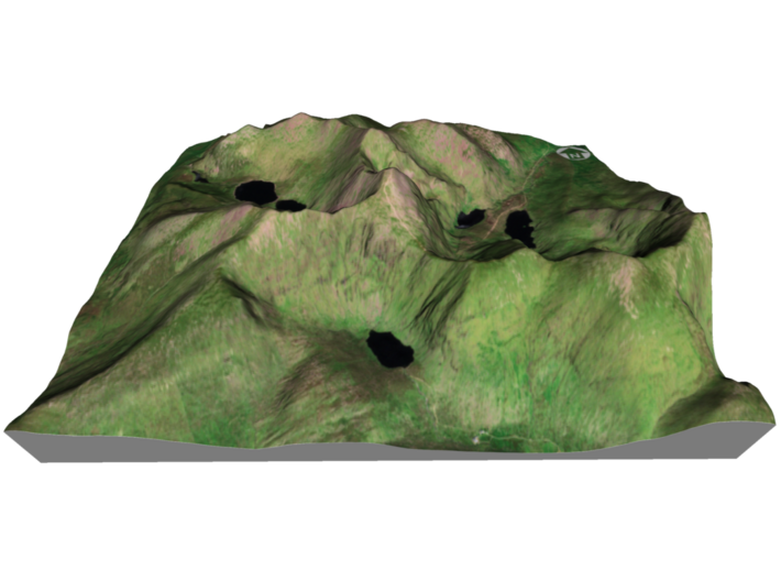
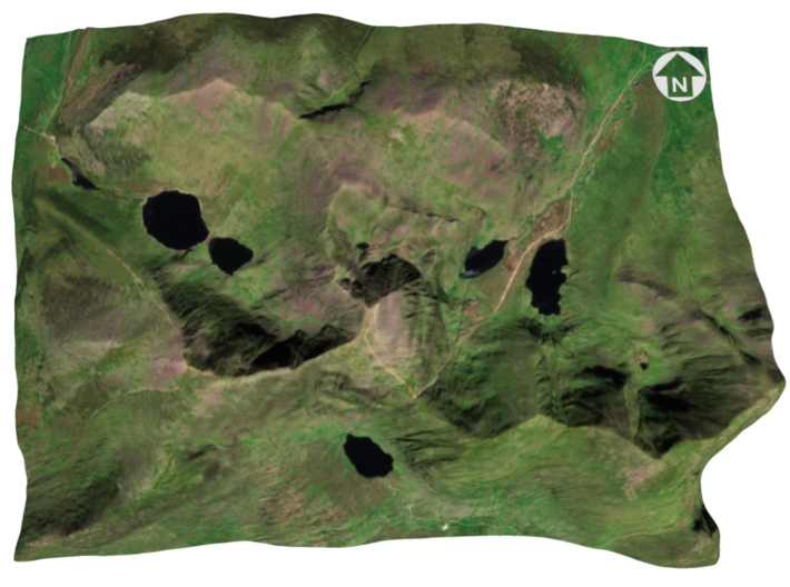
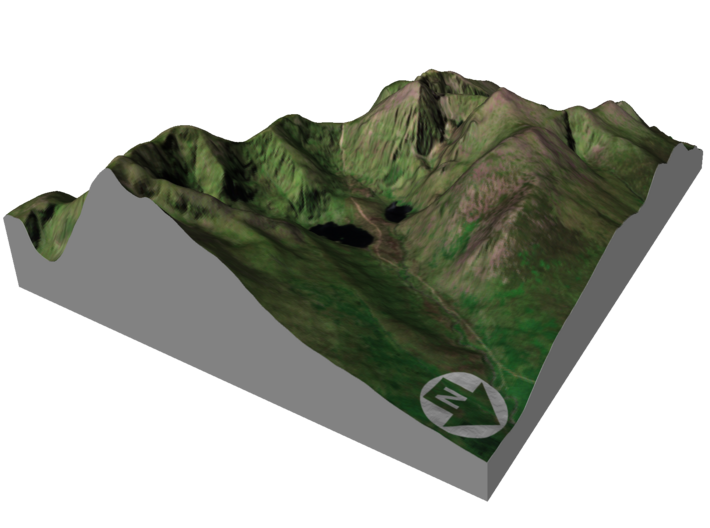
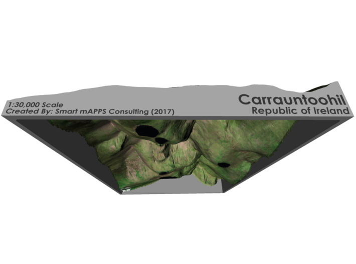
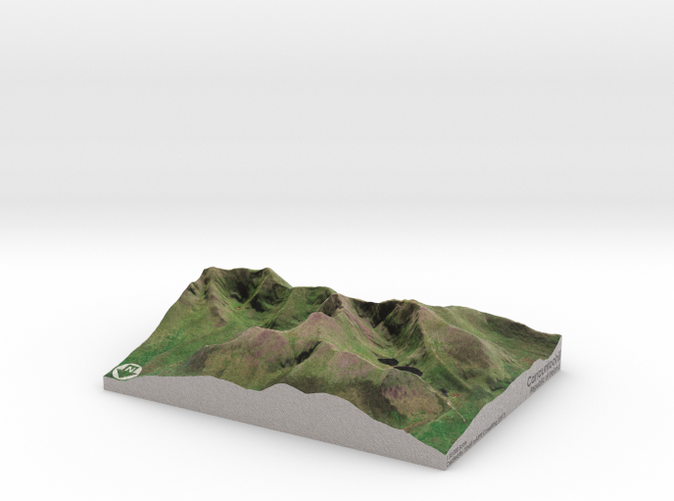
Carrauntoohil (Irish: Corrán Tuathail) is the highest peak on the island of Ireland. Located in County Kerry, it is 1,038 metres (3,406 ft) high and is the central peak of the Macgillycuddy's Reeks range. The ridge northward leads to Ireland's second-highest peak, Beenkeragh (1,010 m), while the ridge westward leads to the third-highest peak, Caher (1,001 m). Carrauntoohil overlooks three bowl-shaped valleys, each with its own lakes. To the east is Hag's Glen or Coomcallee (Com Caillí, "hollow of the Cailleach"), to the west is Coomloughra (Com Luachra, "hollow of the rushes") and to the south is Curragh More (Currach Mór, "great marsh").
Source: Wikipeida
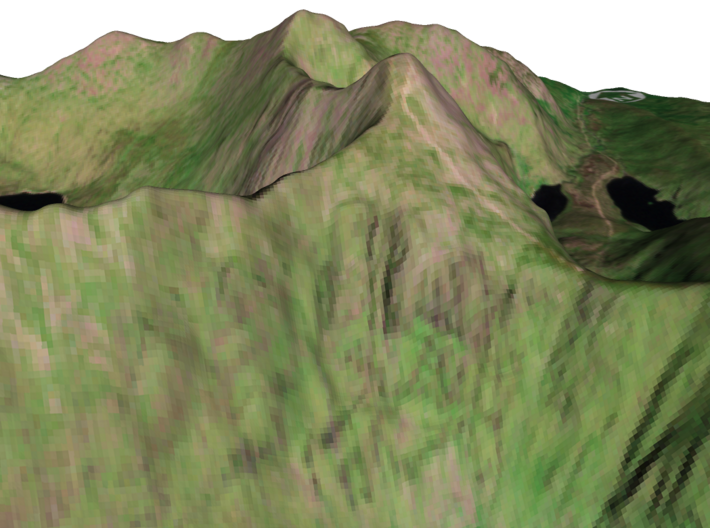
The model is created at a scale of 1:30,000 with 1.5x vertical exaggeration. It features a built-in base, so it sits perfectly on a desk or in a frame.
Model Data Sources: ESA, JAXA
Carrauntoohil (Irish: Corrán Tuathail) is the highest peak on the island of Ireland. Located in County Kerry, it is 1,038 metres (3,406 ft) high and is the central peak of the Macgillycuddy's Reeks range. The ridge northward leads to Ireland's second-highest peak, Beenkeragh (1,010 m), while the ridge westward leads to the third-highest peak, Caher (1,001 m). Carrauntoohil overlooks three bowl-shaped valleys, each with its own lakes. To the east is Hag's Glen or Coomcallee (Com Caillí, "hollow of the Cailleach"), to the west is Coomloughra (Com Luachra, "hollow of the rushes") and to the south is Curragh More (Currach Mór, "great marsh").
Source: Wikipeida
The model is created at a scale of 1:30,000 with 1.5x vertical exaggeration. It features a built-in base, so it sits perfectly on a desk or in a frame.
Model Data Sources: ESA, JAXA
Details
What's in the box:
Carrauntoohil-6x8-30k
Dimensions:
Success Rate:
First To try.
What's this?
Rating:
Mature audiences only.


